Yakima River Canyon Camping
notifications Text me when there's a cancellation at Yakima River Canyon


Yakima River Canyon
Yakima River Canyon
Yakima River Canyon
Yakima River Canyon
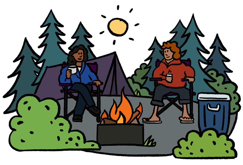
The gentle Yakima River winds through rolling desert hills and basalt cliffs, some rising more than 2,000 feet, for 27 miles between Ellensburg and Yakima, Washington. The canyon offers excellent wildlife watching, fishing for Blue Ribbon trout, family-friendly rafting, and camping. The canyon's crevices and cliffs make a perfect home for the densest concentration of nesting hawks, eagles, and falcons in the state. The BLM manages over 9,000 acres in the Yakima River Canyon area, and the Yakima River State Scenic Byway provides access to BLM's five developed river access sites including Bighorn, Umtanum, Lmuma Creek, Big Pines, and Roza.
Located just south of Ellensburg, the non-motorized trails at Ringer Road Trailhead offer visitors glimpses of the wildlife and birds that inhabit the riparian areas next to the Yakima River.
Umtanum Ridge Water Gap is a geologic feature in Washington state in the United States. It includes the Yakima Canyon (or "Yakima River Canyon"), and is located between the cities of Ellensburg and Yakima in central Washington. Washington State Route 821 (formerly numbered "U.S. Route 97") was once the main route between Ellensburg and Yakima. The old highway still runs close to the river through the canyon, with Interstate 82 (which replaced the old highway) currently carrying most traffic between Ellensburg and Yakima on large bridges nearby.
The Umtanum Ridge Water Gap was designated a National Natural Landmark in 1980. The landmark is characterized by a series of steep-sided ridges in the Columbia River basalt which are cut through axially by the Yakima River. A water gap was cut by the Yakima River through anticlines named "Manastash Ridge" and "Umtanum Ridge". These anticlines are part of the Yakima Fold Belt near the western edge of the Columbia River Plateau.
We can help! Many campsite reservations are cancelled daily. Just tell us when you’d like to camp at Yakima River Canyon, and how long you want to camp for. We’ll text you when a suitable spot opens up!
Scan for cancellationsWhoops! Sometimes we make mistakes. Want to help improve the Yakima River Canyon listing? Please suggest a correction.
Open to camping at other nearby parks? Here are a few other parks you'll find in the vicinity.
How was your visit to Yakima River Canyon? Share your review of Yakima River Canyon and help fellow nature-lovers make an informed decision.
Post a reviewTell us when, where, and how long you want to camp for. We’ll notify you (via SMS) when a suitable spot opens up at that campground—so you can nab that sold-out campsite reservation!
We love camping, and want to help you reserve the perfect campsite!